
Dugas topographic map
Interactive map
Click on the map to display elevation.
About this map
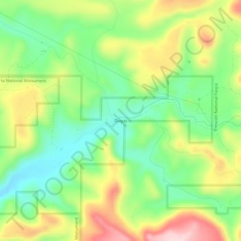
Name: Dugas topographic map, elevation, terrain.
Location: Dugas, Yavapai County, Arizona, États-Unis d'Amérique (34.34197 -111.99849 34.38197 -111.95849)
Average elevation: 4,170 ft
Minimum elevation: 3,825 ft
Maximum elevation: 4,659 ft