
Provinz Río Negro topographic map
Interactive map
Click on the map to display elevation.
About this map
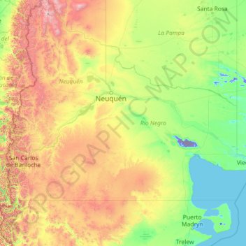
Name: Provinz Río Negro topographic map, elevation, terrain.
Location: Provinz Río Negro, Argentinien (-42.00039 -71.91207 -37.57111 -62.78870)
Average elevation: 2,041 ft
Minimum elevation: -233 ft
Maximum elevation: 14,780 ft