
Demerthin topographic map
Interactive map
Click on the map to display elevation.
About this map
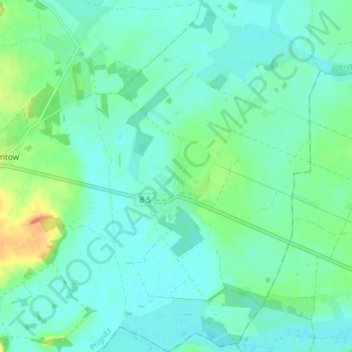
Name: Demerthin topographic map, elevation, terrain.
Location: Demerthin, Gumtow, Prignitz, Brandenburg, Deutschland (52.95236 12.27371 53.00074 12.32510)
Average elevation: 167 ft
Minimum elevation: 135 ft
Maximum elevation: 266 ft
Other topographic maps
Click on a map to view its topography, its elevation and its terrain.
Görike
Deutschland > Brandenburg > Gumtow > Görike
Görike, Gumtow, Prignitz, Brandenburg, Deutschland
Average elevation: 184 ft
Schloss Demerthin
Deutschland > Brandenburg > Gumtow
Schloss Demerthin, Schulstraße, Demerthin, Gumtow, Prignitz, Brandenburg, 16866, Deutschland
Average elevation: 161 ft