
Leuggelbach topographic map
Interactive map
Click on the map to display elevation.
About this map
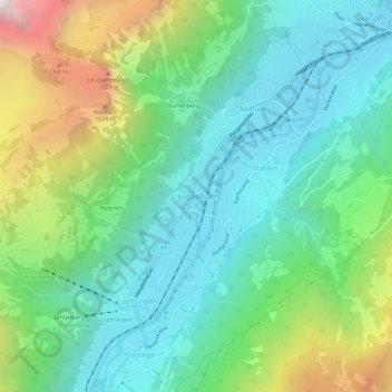
Name: Leuggelbach topographic map, elevation, terrain.
Location: Leuggelbach, Glarus, 8775, Schweiz (46.95737 9.02583 46.99737 9.06583)
Average elevation: 3,248 ft
Minimum elevation: 1,699 ft
Maximum elevation: 7,100 ft