
Otates topographic map
Interactive map
Click on the map to display elevation.
About this map
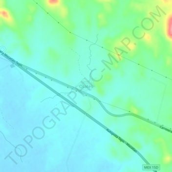
Name: Otates topographic map, elevation, terrain.
Location: Otates, Rosario, Sinaloa, Mexico (23.00459 -105.93674 23.04459 -105.89674)
Average elevation: 135 ft
Minimum elevation: 69 ft
Maximum elevation: 381 ft