
Pussella topographic map
Interactive map
Click on the map to display elevation.
About this map
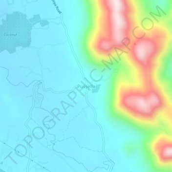
Name: Pussella topographic map, elevation, terrain.
Location: Pussella, Kurunegala District, North Western Province, Sri Lanka (7.42035 80.46744 7.46035 80.50744)
Average elevation: 853 ft
Minimum elevation: 456 ft
Maximum elevation: 2,083 ft