
Toland topographic map
Interactive map
Click on the map to display elevation.
About this map
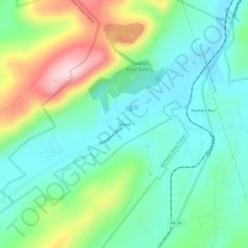
Name: Toland topographic map, elevation, terrain.
Location: Toland, Cumberland County, Pennsylvania, 17324, USA (40.04981 -77.23193 40.08981 -77.19193)
Average elevation: 912 ft
Minimum elevation: 617 ft
Maximum elevation: 1,598 ft