
Säntis topographic map
Interactive map
Click on the map to display elevation.
About this map
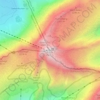
Name: Säntis topographic map, elevation, terrain.
Location: Säntis, Schwende, Appenzell Innerrhoden, 9057, Switzerland (47.24926 9.34347 47.24936 9.34357)
Average elevation: 6,358 ft
Minimum elevation: 4,259 ft
Maximum elevation: 8,136 ft