
Büchlberg topographic map
Interactive map
Click on the map to display elevation.
About this map
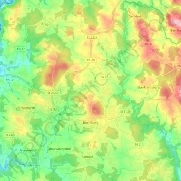
Name: Büchlberg topographic map, elevation, terrain.
Location: Büchlberg, Landkreis Passau, Bayern, 94124, Deutschland (48.64397 13.48327 48.71406 13.59035)
Average elevation: 1,483 ft
Minimum elevation: 1,142 ft
Maximum elevation: 1,942 ft
Other topographic maps
Click on a map to view its topography, its elevation and its terrain.
Witzingerreut
Deutschland > Bayern > Landkreis Passau > Büchlberg > Witzingerreut
Witzingerreut, Büchlberg, Landkreis Passau, Bayern, 94124, Deutschland
Average elevation: 1,512 ft