
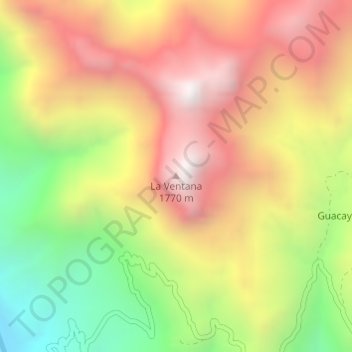
La Ventana topographic map
Interactive map
Click on the map to display elevation.
About this map
Name: La Ventana topographic map, elevation, terrain.
Location: La Ventana, Urique, Chihuahua, Mexique (27.18820 -107.87581 27.18830 -107.87571)
Average elevation: 3,907 ft
Minimum elevation: 1,673 ft
Maximum elevation: 5,879 ft