La Grande Manche topographic map
Interactive map
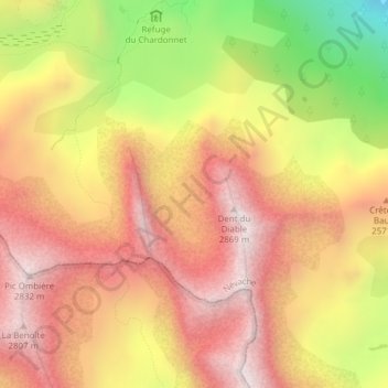
Click on the map to display elevation.
About this map
Name: La Grande Manche topographic map, elevation, terrain.
Average elevation: 8,022 ft
Minimum elevation: 6,073 ft
Maximum elevation: 9,295 ft

Click on the map to display elevation.
Name: La Grande Manche topographic map, elevation, terrain.
Average elevation: 8,022 ft
Minimum elevation: 6,073 ft
Maximum elevation: 9,295 ft