
Guelma topographic map
Interactive map
Click on the map to display elevation.
About this map
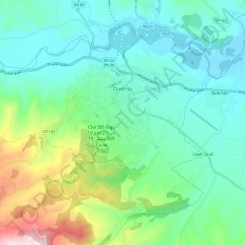
Name: Guelma topographic map, elevation, terrain.
Location: Guelma, دائرة قالمة, Qālima, Algerien (36.41560 7.35787 36.48888 7.47259)
Average elevation: 1,145 ft
Minimum elevation: 561 ft
Maximum elevation: 3,009 ft