
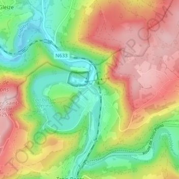
Petit Coo topographic map
Interactive map
Click on the map to display elevation.
About this map
Name: Petit Coo topographic map, elevation, terrain.
Location: Petit Coo, Stavelot, Verviers, Luik, Wallonië, 4970, België (50.37271 5.85704 50.41271 5.89704)
Average elevation: 1,145 ft
Minimum elevation: 679 ft
Maximum elevation: 1,696 ft
Other topographic maps
Click on a map to view its topography, its elevation and its terrain.
Francorchamps
België > Luik > Verviers > Stavelot
Francorchamps, Stavelot, Verviers, Luik, Wallonië, 4970, België
Average elevation: 1,581 ft