
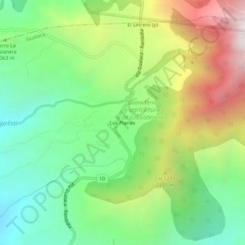
Los Planes topographic map
Interactive map
Click on the map to display elevation.
About this map
Name: Los Planes topographic map, elevation, terrain.
Location: Los Planes, Gualaca, Distrito Gualaca, Chiriquí, Panamá (8.61273 -82.23278 8.65273 -82.19278)
Average elevation: 3,458 ft
Minimum elevation: 1,716 ft
Maximum elevation: 6,302 ft