
Boekel topographic map
Interactive map
Click on the map to display elevation.
About this map
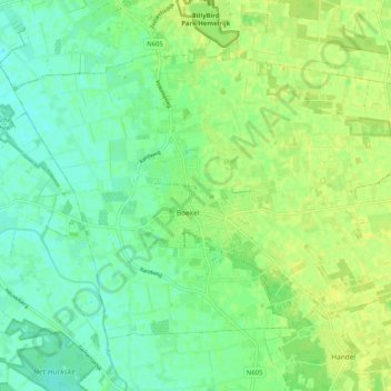
Name: Boekel topographic map, elevation, terrain.
Location: Boekel, Nordbrabant, Niederlande (51.58236 5.62657 51.62906 5.72934)
Average elevation: 56 ft
Minimum elevation: 30 ft
Maximum elevation: 82 ft