
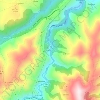
Pontelinfiernu topographic map
Interactive map
Click on the map to display elevation.
About this map
Name: Pontelinfiernu topographic map, elevation, terrain.
Location: Pontelinfiernu, Cangas del Narcea, Asturias, 33800, España (43.20034 -6.54505 43.24034 -6.50505)
Average elevation: 1,847 ft
Minimum elevation: 988 ft
Maximum elevation: 2,969 ft