
Lain topographic map
Interactive map
Click on the map to display elevation.
About this map
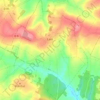
Name: Lain topographic map, elevation, terrain.
Average elevation: 879 ft
Minimum elevation: 702 ft
Maximum elevation: 1,060 ft
Other topographic maps
Click on a map to view its topography, its elevation and its terrain.
Sens
France > Bourgogne-Franche-Comté > Yonne
Sens, Yonne, Bourgogne-Franche-Comté, Metropolitan France, 89100, France
Average elevation: 315 ft