
Sajatine topographic map
Interactive map
Click on the map to display elevation.
About this map
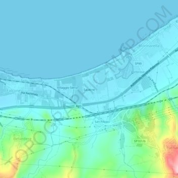
Name: Sajatine topographic map, elevation, terrain.
Location: Sajatine, Furnari, Messine, Sicile, 98054, Italie (38.09780 15.08122 38.13780 15.12122)
Average elevation: 98 ft
Minimum elevation: -3 ft
Maximum elevation: 722 ft