
Warstiens topographic map
Interactive map
Click on the map to display elevation.
About this map
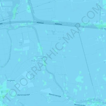
Name: Warstiens topographic map, elevation, terrain.
Location: Warstiens, Leeuwarden, Friesland, Nederland (53.15439 5.85587 53.17152 5.88705)
Average elevation: -3 ft
Minimum elevation: -10 ft
Maximum elevation: 10 ft