
Pintray topographic map
Interactive map
Click on the map to display elevation.
About this map
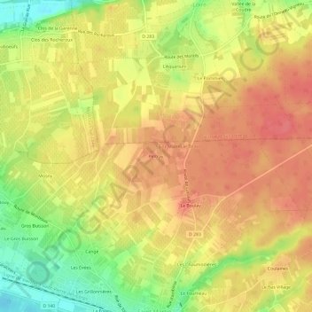
Name: Pintray topographic map, elevation, terrain.
Average elevation: 285 ft
Minimum elevation: 151 ft
Maximum elevation: 367 ft
Other topographic maps
Click on a map to view its topography, its elevation and its terrain.
Cangé
France > Centre-Val de Loire > Indre-et-Loire > Saint-Martin-le-Beau
Cangé, Saint-Martin-le-Beau, Loches, Indre-et-Loire, Centre-Val de Loire, France métropolitaine, 37270, France
Average elevation: 243 ft