
Freer topographic map
Interactive map
Click on the map to display elevation.
About this map
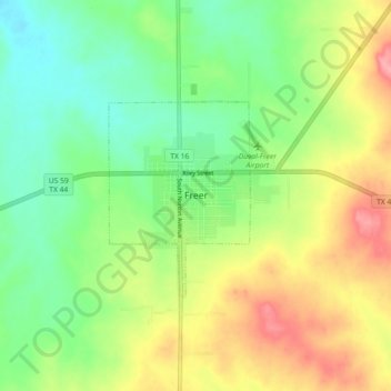
Name: Freer topographic map, elevation, terrain.
Location: Freer, Duval County, Texas, 78357, United States (27.83813 -98.65421 27.91813 -98.57421)
Average elevation: 574 ft
Minimum elevation: 443 ft
Maximum elevation: 761 ft