
Kodia topographic map
Interactive map
Click on the map to display elevation.
About this map
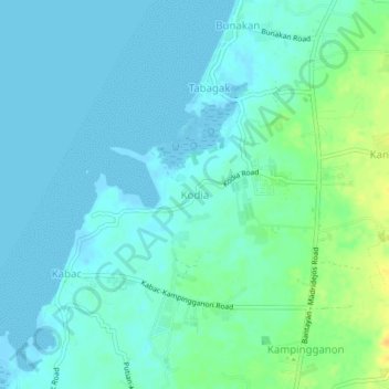
Name: Kodia topographic map, elevation, terrain.
Location: Kodia, Cebu, Central Visayas, Philippines (11.22767 123.70300 11.26767 123.74300)
Average elevation: 46 ft
Minimum elevation: -20 ft
Maximum elevation: 213 ft
Other topographic maps
Click on a map to view its topography, its elevation and its terrain.
Balidbid
Philippines > Cebu > Balidbid
Balidbid, Cebu, Central Visayas, Philippines
Average elevation: 30 ft
Busay Falls
Philippines > Cebu > Mandaue
Busay Falls, Mandaue, Cebu, Central Visayas, 6000, Philippines
Average elevation: 925 ft
Mactan Island
Philippines > Cebu > Lapu-Lapu
Mactan Island, Lapu-Lapu, Cebu, Central Visayas, Philippines
Average elevation: 10 ft