
Hohe Tauern topographic map
Interactive map
Click on the map to display elevation.
About this map
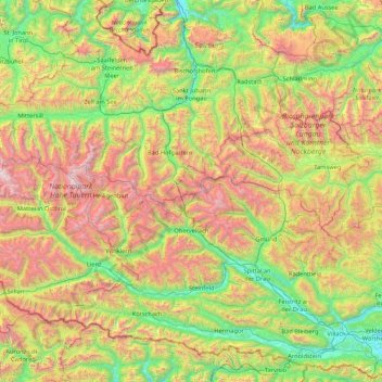
Name: Hohe Tauern topographic map, elevation, terrain.
Average elevation: 4,895 ft
Minimum elevation: 1,516 ft
Maximum elevation: 12,047 ft
Other topographic maps
Click on a map to view its topography, its elevation and its terrain.
Weißspitze
Österreich > Salzburg > Bad Gastein
Weißspitze, Bad Gastein, Bezirk St. Johann im Pongau, Salzburg, 5640, Österreich
Average elevation: 8,238 ft