
Entella topographic map
Interactive map
Click on the map to display elevation.
About this map
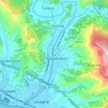
Name: Entella topographic map, elevation, terrain.
Location: Entella, San Salvatore, Cogorno, Genova, Liguria, Italia (44.30960 9.33178 44.35296 9.36197)
Average elevation: 358 ft
Minimum elevation: -7 ft
Maximum elevation: 1,739 ft