
上龙池 topographic map
Interactive map
Click on the map to display elevation.
About this map
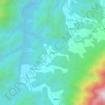
Name: 上龙池 topographic map, elevation, terrain.
Location: 上龙池, 伏岭镇, 绩溪县, 宣城市, 安徽省, 中国 (30.18653 118.76039 30.22653 118.80039)
Average elevation: 1,394 ft
Minimum elevation: 761 ft
Maximum elevation: 4,262 ft