
West Horsley topographic map
Interactive map
Click on the map to display elevation.
About this map
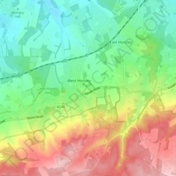
Name: West Horsley topographic map, elevation, terrain.
Location: West Horsley, Guildford, Surrey, England, United Kingdom (51.23541 -0.47253 51.28945 -0.43384)
Average elevation: 338 ft
Minimum elevation: 102 ft
Maximum elevation: 686 ft