
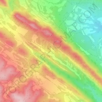
Valrraboso topographic map
Interactive map
Click on the map to display elevation.
About this map
Name: Valrraboso topographic map, elevation, terrain.
Average elevation: 2,290 ft
Minimum elevation: 1,906 ft
Maximum elevation: 2,618 ft
Other topographic maps
Click on a map to view its topography, its elevation and its terrain.
Albarizas
España > Aragón > Andorra-Sierra de Arcos > Oliete
Albarizas, Oliete, Andorra-Sierra de Arcos, Teruel, Aragón, España
Average elevation: 1,886 ft