
保家镇 topographic map
Interactive map
Click on the map to display elevation.
About this map
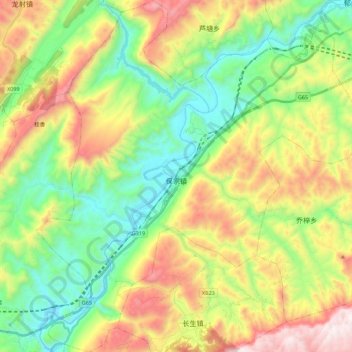
Name: 保家镇 topographic map, elevation, terrain.
Location: 保家镇, 彭水苗族土家族自治县, 重庆市, 中国 (29.33931 108.22065 29.53269 108.43094)
Average elevation: 2,287 ft
Minimum elevation: 741 ft
Maximum elevation: 4,843 ft
Other topographic maps
Click on a map to view its topography, its elevation and its terrain.