
Lemieux topographic map
Interactive map
Click on the map to display elevation.
About this map
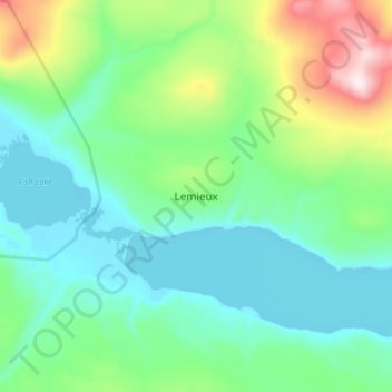
Name: Lemieux topographic map, elevation, terrain.
Location: Lemieux, Stikine Region, Colombie-Britannique, Canada (59.87667 -133.15667 59.95667 -133.07667)
Average elevation: 3,346 ft
Minimum elevation: 2,831 ft
Maximum elevation: 5,052 ft