
Oude A-vaart topographic map
Interactive map
Click on the map to display elevation.
About this map
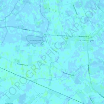
Name: Oude A-vaart topographic map, elevation, terrain.
Location: Oude A-vaart, Veurne, West-Vlaanderen, Vlaanderen, 8630, België (51.04933 2.76595 51.08673 2.78238)
Average elevation: 3 ft
Minimum elevation: -7 ft
Maximum elevation: 13 ft
Other topographic maps
Click on a map to view its topography, its elevation and its terrain.
Kanaal Plassendale - Duinkerken
België > Vlaanderen > Veurne
Kanaal Plassendale - Duinkerken, Veurne, West-Vlaanderen, Vlaanderen, 8670, België
Average elevation: 7 ft