
Alaknanda River topographic map
Interactive map
Click on the map to display elevation.
About this map
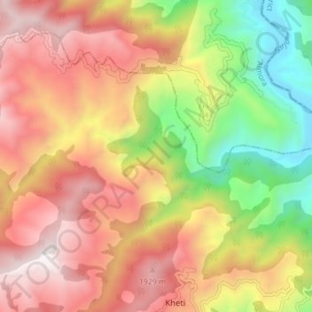
Name: Alaknanda River topographic map, elevation, terrain.
Location: Alaknanda River, Almora, Uttarakhand, 263600, India (29.63182 79.90103 29.64840 79.97113)
Average elevation: 4,564 ft
Minimum elevation: 2,047 ft
Maximum elevation: 6,742 ft
Other topographic maps
Click on a map to view its topography, its elevation and its terrain.
Kosi River
India > Uttarakhand > Almora
Kosi River, Almora, Uttarakhand, 263600, India
Average elevation: 4,711 ft