
Heidersbach topographic map
Interactive map
Click on the map to display elevation.
About this map
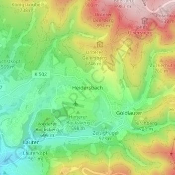
Name: Heidersbach topographic map, elevation, terrain.
Location: Heidersbach, Suhl, Thüringen, 98528, Deutschland (50.61595 10.71124 50.65595 10.75124)
Average elevation: 2,116 ft
Minimum elevation: 1,483 ft
Maximum elevation: 3,110 ft