
Hällabrottet topographic map
Interactive map
Click on the map to display elevation.
About this map
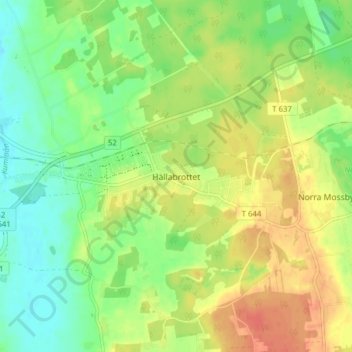
Name: Hällabrottet topographic map, elevation, terrain.
Location: Hällabrottet, Kumla kommun, Örebro County, 692 92, Sweden (59.09616 15.18477 59.13616 15.22477)
Average elevation: 187 ft
Minimum elevation: 121 ft
Maximum elevation: 259 ft
Other topographic maps
Click on a map to view its topography, its elevation and its terrain.