
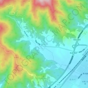
前进村 topographic map
Interactive map
Click on the map to display elevation.
About this map
Name: 前进村 topographic map, elevation, terrain.
Location: 前进村, 蛟桥街道, 南昌经开区, 新建区, 南昌市, 江西省, 330013, 中国 (28.74576 115.77569 28.78576 115.81569)
Average elevation: 502 ft
Minimum elevation: 92 ft
Maximum elevation: 1,450 ft
Other topographic maps
Click on a map to view its topography, its elevation and its terrain.