Geolocate

Suroeste topographic map

Click on the map to display elevation.

About this map
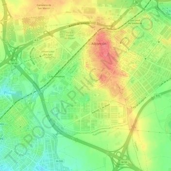
Name: Suroeste topographic map, elevation, terrain.

Location: Suroeste, Alcorcón, Community of Madrid, 28922, Spain (40.32394 -3.86114 40.35206 -3.80089)

Average elevation: 2,257 ft

Minimum elevation: 2,139 ft

Maximum elevation: 2,385 ft

Gear up for your next adventure:

🛶Inflatable Kayak - Portable kayak for rivers, lakes, and expeditions
🔪Outdoor Multitools - Essential survival tools for gear repair and field use
🧷Carabiner Set - Durable clips for gear attachment
📻Weather Alert Radios - Stay informed of storm risks while off-the-grid
🔋Solar Power Banks - Keep your GPS and phone charged in remote wilderness areas

As an Amazon Associate, this site earns from qualifying purchases at no extra cost to you.