
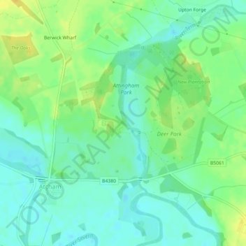
Cedars of Lebanon topographic map
Interactive map
Click on the map to display elevation.
About this map
Name: Cedars of Lebanon topographic map, elevation, terrain.
Location: Cedars of Lebanon, Atcham, Shropshire, England, United Kingdom (52.68546 -2.66713 52.68620 -2.66552)
Average elevation: 171 ft
Minimum elevation: 138 ft
Maximum elevation: 220 ft