
八廓街道 topographic map
Interactive map
Click on the map to display elevation.
About this map
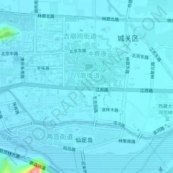
Name: 八廓街道 topographic map, elevation, terrain.
Location: 八廓街道, 城关区, 拉萨市, 西藏自治区, 中国 (29.64349 91.11721 29.65563 91.13799)
Average elevation: 11,998 ft
Minimum elevation: 11,969 ft
Maximum elevation: 12,523 ft
Other topographic maps
Click on a map to view its topography, its elevation and its terrain.