
Reşadiye Belediyesi topographic map
Interactive map
Click on the map to display elevation.
About this map
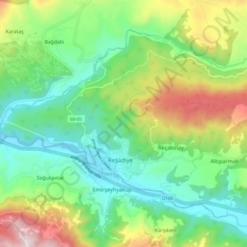
Name: Reşadiye Belediyesi topographic map, elevation, terrain.
Location: Reşadiye Belediyesi, Reşadiye, Tokat, Black Sea Region, Turkey (40.37569 37.29362 40.42907 37.38606)
Average elevation: 2,457 ft
Minimum elevation: 1,555 ft
Maximum elevation: 4,304 ft