
芦溪镇 topographic map
Interactive map
Click on the map to display elevation.
About this map
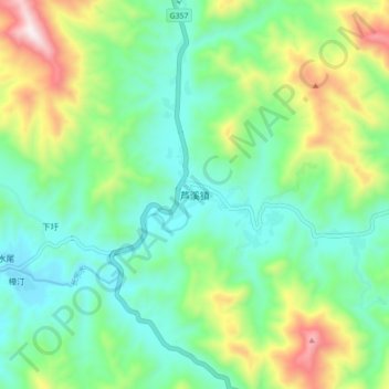
Name: 芦溪镇 topographic map, elevation, terrain.
Location: 芦溪镇, 平和县, 漳州市, 福建省, 中国 (24.44423 116.99491 24.52423 117.07491)
Average elevation: 2,080 ft
Minimum elevation: 1,293 ft
Maximum elevation: 3,950 ft
Other topographic maps
Click on a map to view its topography, its elevation and its terrain.