
富顺镇 topographic map
Interactive map
Click on the map to display elevation.
About this map
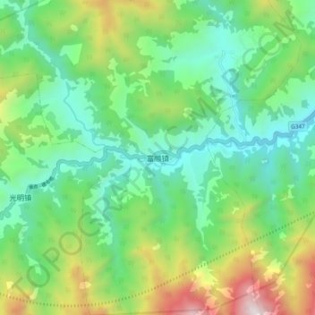
Name: 富顺镇 topographic map, elevation, terrain.
Location: 富顺镇, 富顺乡, 茂县, 阿坝藏族羌族自治州, 四川省, 中国 (31.71550 103.96959 31.79550 104.04959)
Average elevation: 5,410 ft
Minimum elevation: 3,606 ft
Maximum elevation: 9,551 ft