
Tocatlán topographic map
Interactive map
Click on the map to display elevation.
About this map
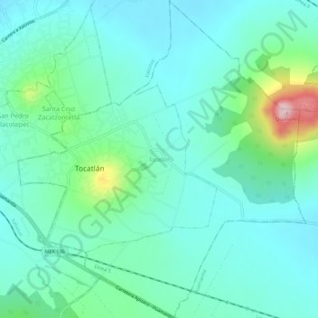
Name: Tocatlán topographic map, elevation, terrain.
Location: Tocatlán, Tlaxcala, México (19.36511 -98.04224 19.41614 -97.99309)
Average elevation: 8,301 ft
Minimum elevation: 8,127 ft
Maximum elevation: 8,973 ft