
Philips topographic map
Interactive map
Click on the map to display elevation.
About this map
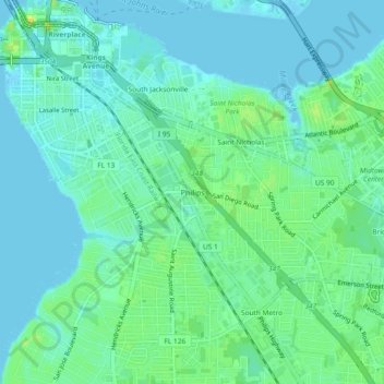
Name: Philips topographic map, elevation, terrain.
Location: Philips, Duval County, Florida, 32207, USA (30.28024 -81.66148 30.32024 -81.62148)
Average elevation: 20 ft
Minimum elevation: -20 ft
Maximum elevation: 62 ft