
Kampong Gemang Lama topographic map
Interactive map
Click on the map to display elevation.
About this map
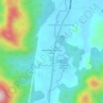
Name: Kampong Gemang Lama topographic map, elevation, terrain.
Location: Kampong Gemang Lama, Kampung Gemang, Jeli, Kelantan, Malaysia (5.73129 101.84101 5.77129 101.88101)
Average elevation: 472 ft
Minimum elevation: 112 ft
Maximum elevation: 1,824 ft