
Weißpriach topographic map
Interactive map
Click on the map to display elevation.
About this map
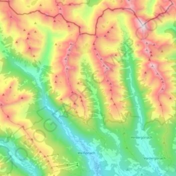
Name: Weißpriach topographic map, elevation, terrain.
Location: Weißpriach, Tamsweg - Lungau, Salzburg, 5573, Oostenrijk (47.16061 13.57905 47.28379 13.72400)
Average elevation: 5,925 ft
Minimum elevation: 3,579 ft
Maximum elevation: 9,304 ft