
Pequot Indian Reservation topographic map
Interactive map
Click on the map to display elevation.
About this map
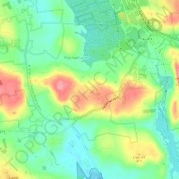
Name: Pequot Indian Reservation topographic map, elevation, terrain.
Average elevation: 203 ft
Minimum elevation: 69 ft
Maximum elevation: 413 ft