
Pangdan topographic map
Interactive map
Click on the map to display elevation.
About this map
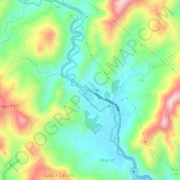
Name: Pangdan topographic map, elevation, terrain.
Location: Pangdan, Naga, Cebu, Central Visayas, 86017, Philippines (10.21258 123.70742 10.25258 123.74742)
Average elevation: 456 ft
Minimum elevation: 39 ft
Maximum elevation: 1,181 ft