
Antioquia topographic map
Interactive map
Click on the map to display elevation.
About this map
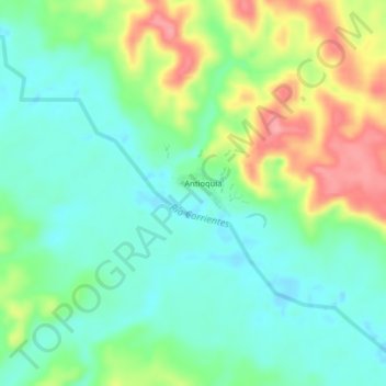
Name: Antioquia topographic map, elevation, terrain.
Location: Antioquia, Provincia de Loreto, Loreto, Perú (-2.73325 -76.02716 -2.69325 -75.98716)
Average elevation: 663 ft
Minimum elevation: 548 ft
Maximum elevation: 879 ft