
Águas Frias de Cima topographic map
Interactive map
Click on the map to display elevation.
About this map
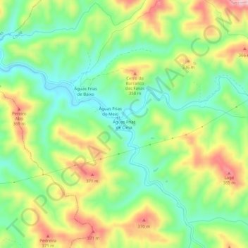
Name: Águas Frias de Cima topographic map, elevation, terrain.
Location: Águas Frias de Cima, Alte, Loulé, Faro, Algarve, Portugal (37.29233 -8.19047 37.33233 -8.15047)
Average elevation: 863 ft
Minimum elevation: 551 ft
Maximum elevation: 1,319 ft