
Zammelen topographic map
Interactive map
Click on the map to display elevation.
About this map
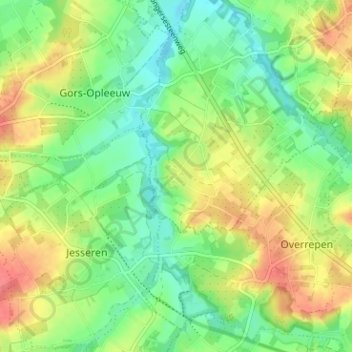
Name: Zammelen topographic map, elevation, terrain.
Average elevation: 253 ft
Minimum elevation: 167 ft
Maximum elevation: 364 ft
Other topographic maps
Click on a map to view its topography, its elevation and its terrain.
Natuurgebied Eggertingen
België > Limburg > Tongeren > Vliermaal
Natuurgebied Eggertingen, Vliermaal, Kortessem, Tongeren, Limburg, Vlaanderen, 3724, België
Average elevation: 249 ft