
Montegiorgio topographic map
Interactive map
Click on the map to display elevation.
About this map
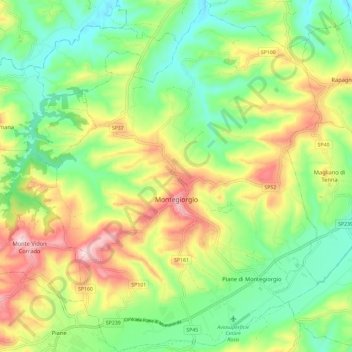
Name: Montegiorgio topographic map, elevation, terrain.
Location: Montegiorgio, Fermo, Marche, 63833, Italy (43.09517 13.48925 43.18047 13.58459)
Average elevation: 709 ft
Minimum elevation: 279 ft
Maximum elevation: 1,391 ft